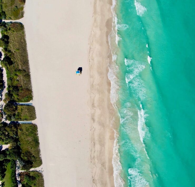
Mauritius is an island nation 1,200 kilometers southeast of Africa. What’s really interesting about the island is a strange phenomenon occurring on its southwestern tip: an illusion that looks as if there’s a waterfall flowing underneath the ocean. It was first seen through a satellite image via Google Earth.
ScienceBlogs.com explains why it happens (summarized in Google Earth Blog):
“What you’re witnessing, that looks like an underwater waterfall, is actually sand from the shores of Mauritius being driven via ocean currents off of that high, coastal shelf, and down into the darker ocean depths off the southern tip of the island.”
That’s from the aerial point of view. When viewed from other angles, the runoff of sand and silt simply creates a wonderful gradient of blues, greens, and whites. According to Google Earth Blog, the runoff area is actually just 10-20 meters in depth.
When On Earth Magazine is for people who love travel. We provide informative travel guides, tips, ideas and advice regarding places to see, things to do, what to taste, and much more for world travelers seeking their next dream vacation destination.

